Magens Bay
Beach
Trail
Charlotte Amalie, Saint Thomas, USVI
Magens Bay has consistently been highlighted by magazines like National Geographic as one of the world's best beaches for its white sand and calm, turquoise waters that stretch for nearly a mile.
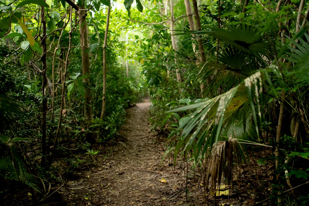
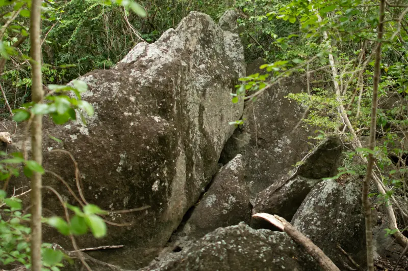
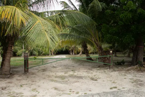
Opened to the public in May 2004, the Discovery Nature Trail is part of a 319-acre reserve protected by the Magens Bay Authority, the Virgin Islands Department of Planning and Natural Resources, and The Nature Conservancy.
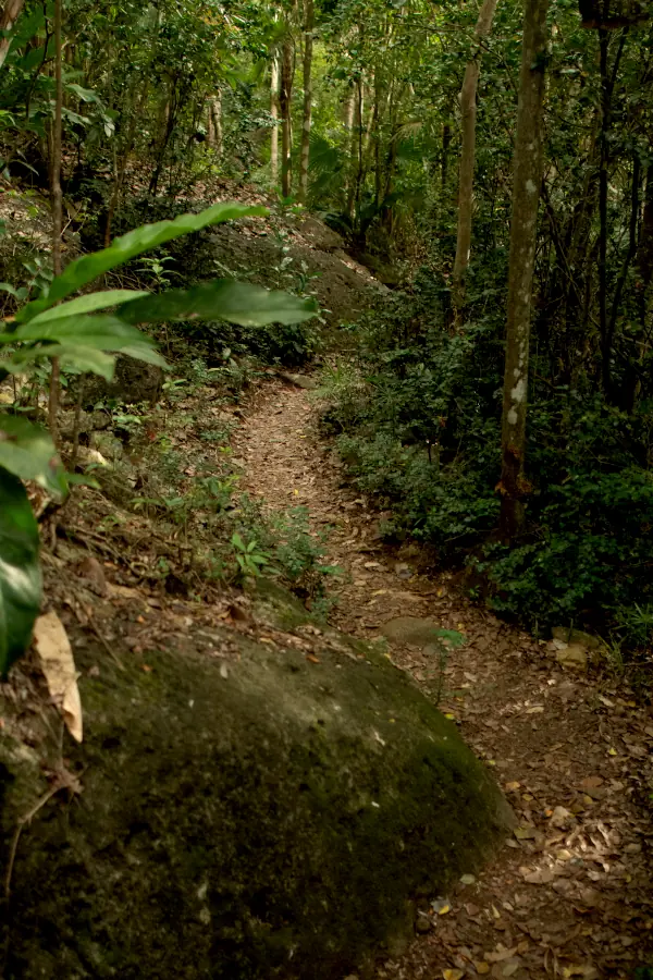
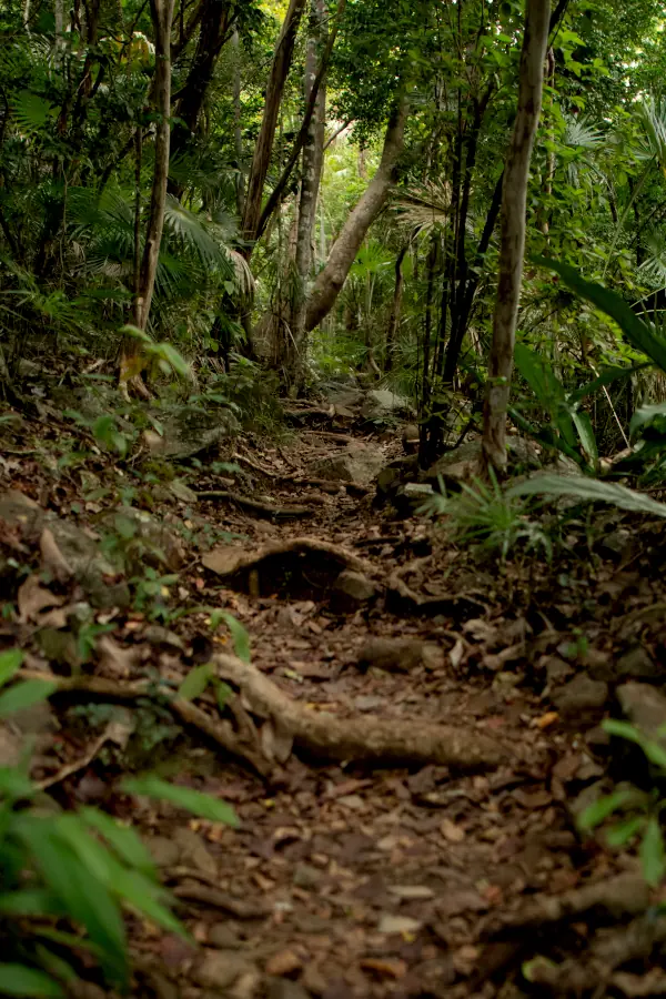
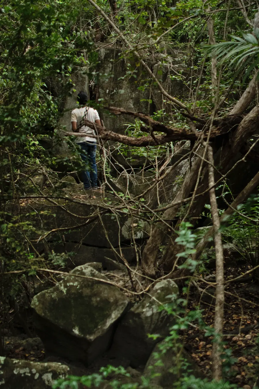
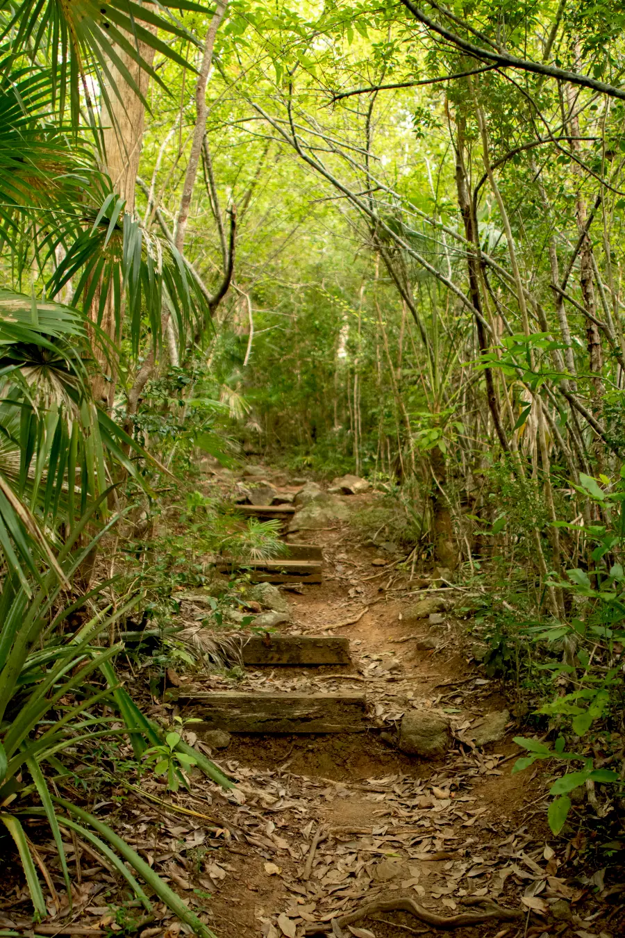
This approximately 1.5-mile trail descends to Magens Bay Beach and traverses diverse ecosystems that reveal the island's natural richness. Starting from the top, the trail begins in a mixed dry forest, continues through a tropical rainforest, crosses a mangrove wetland, and finally reaches the beach, one of the most iconic in the Caribbean.
We began our hike at Magens Bay Beach, ascended the full length of the trail, and circled back to the shore for a final, refreshing swim. This loop provided a multi-sensory experience of the local scenery and the ecology of the area, culminating in a relaxing swim in the bay’s crystal-clear waters.
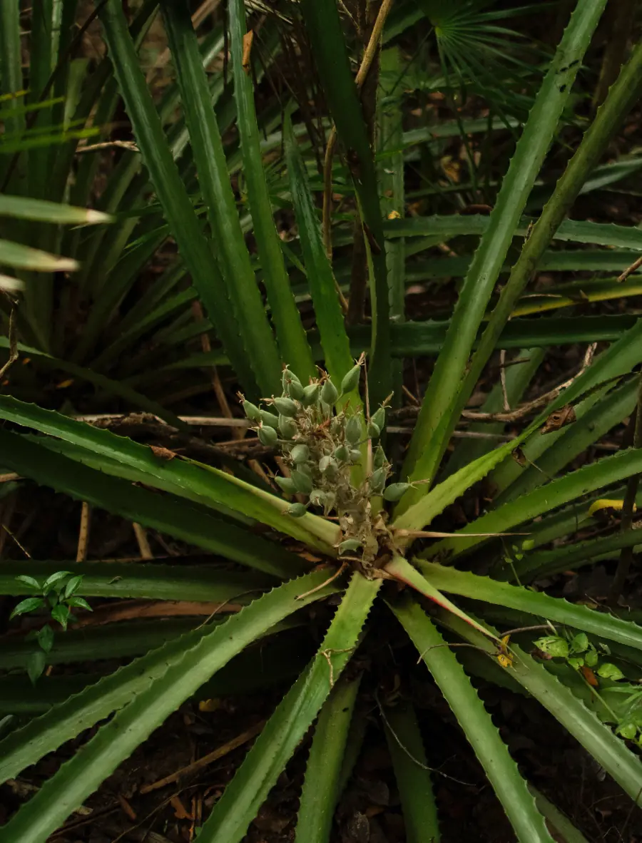
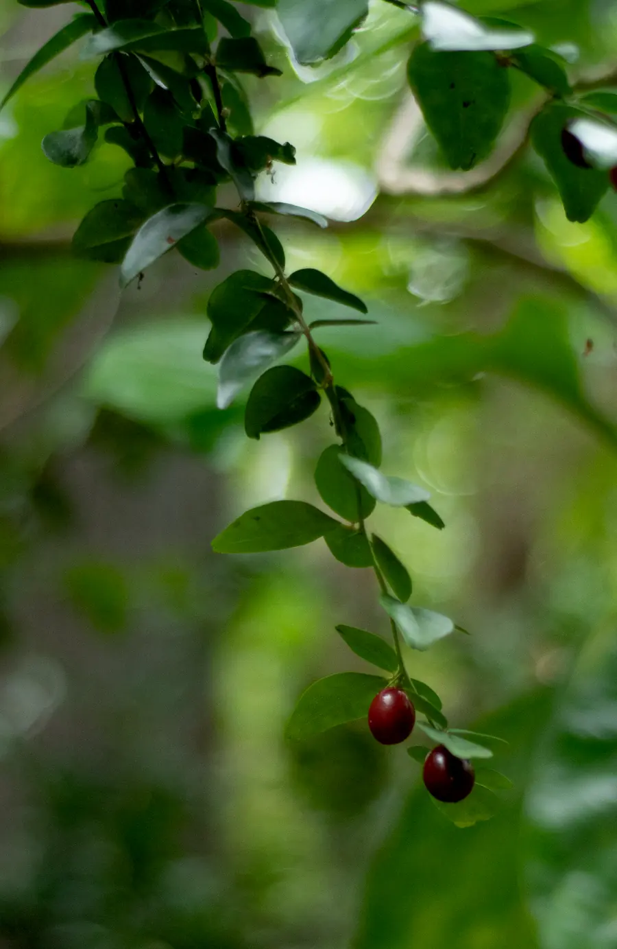
Along the trail, you may encounter thorny plants and tree species whose sap, or contact with them—for example, the Manchinel (Hippomane mancinella)—can be toxic to the skin. For safety, it is recommended not to touch the vegetation and to stay on the marked path.
Managed by: Magens Bay Authority in partnership with The Nature Conservancy
Duration: Approx. 2 hours
Intermediate
Access the trail from Centerline Road. Wear appropriate footwear, bring plenty of water, use sun protection, visit during the hours of least sun.
Free parking at the top adjacent to Magens Bay Road, and paid parking at the Magens Bay Beach Resort. The resort has restrooms, showers, and picnic tables.
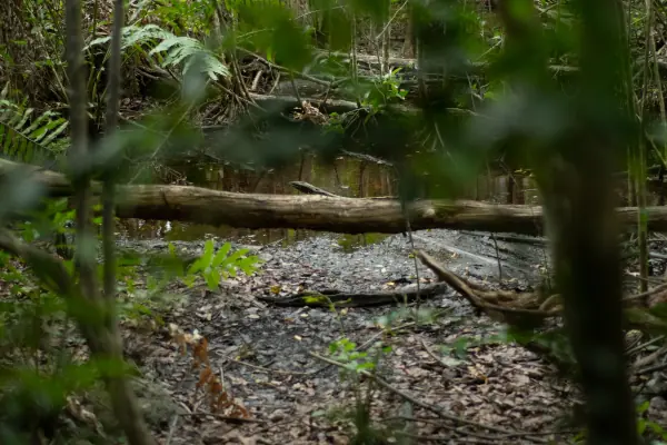
It is located in an area where the surrounding hills collect rainwater, forming a coastal valley with higher humidity than other parts of the island. This allows the development of a tropical rainforest, a rare ecosystem that coexists with mangroves and seasonal swampy areas.
This area has been recognized as an important bird area as it is home to resident and migratory birds, with over 40 bird species recorded in the area.
In the southwest of the bay, a pre-ceramic deposit was found composed almost exclusively of shells of Chione cancellata, a species of clam that is no longer found today on Magens Bay beach. This suggests significant environmental changes since its occupation more than 2,000 years ago.
Behind the northeast end of the beach lies the Magens Bay archaeological site, inhabited between 700 and 1300 AD, where ceramic remains have been found that show the prolonged presence of indigenous communities.
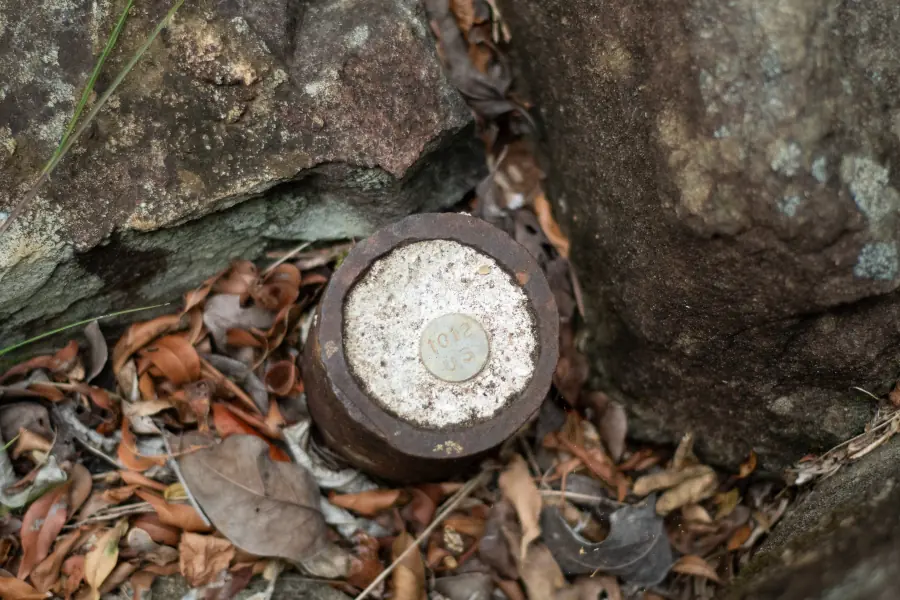
During the colonial period, Magens Bay was used for the production and shipment of sugar. Hidden remnants of 19th-century structures, including brick walls and an old sugar factory at the foot of the hill, are still preserved.
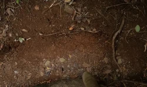
Soils
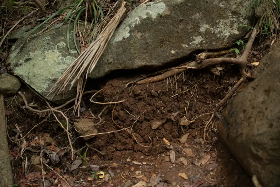
The Magens Bay Nature Reserve is characterized by soils associated with coastal ecosystems, mangroves, and tropical dry forests. The diversity of soils in this region sustains unique landscapes that extend from the sandy beach to the hills covered with xerophytic vegetation, plants that are adapted to dry environments. In areas near the coast, where the soils are sandier and more saline, species adapted to high salinity conditions thrive, such as the red mangrove (Rhizophora mangle). In the higher, better-drained areas, on thinner, stonier soils, dry forest develops, home to species like Bursera simaruba and native cacti.
Series: Jaucas
Order: Entisol
Taxonomic name: Carbonatic, isohyperthermic Typic Ustipsamments
General description: This soil forms in sandy coastal areas and is very deep, loose, and extremely fast-draining. Composed of whitish sand with shell and coral fragments, Jaucas soil is typical of vegetated dunes near the beach and is characterized by its low water retention and natural alkalinity.
Interesting Notes:
- Although it appears to be a poor and dry soil, Jaucas supports the growth of hardy coastal vegetation, such as sea grape (Coccoloba uvifera).
- These soils are not widespread, however, they are found in Puerto Rico, including Vieques
- the Virgin Islands, Mona, and Hawaii.
Series: Sugar Beach
Order: Histosol
Taxonomic name: Euic, isohyperthermic Fluvaquentic Haplosaprists
General description: Sugar Beach soil is a very deep, extremely poorly drained soil formed in salt marshes from the decomposition of hydrophytic plants such as mangroves. It is characterized by its mucky (organic) texture, sulfurous odors, the presence of fibrous material, and a neutral to slightly acidic reaction, indicating the saturated and anoxic conditions common in coastal wetlands.
Interesting Notes:
- Sugar Beach soils are key habitats for mangroves and coastal wildlife such as crustaceans, waterfowl, and iguanas. Therefore, many areas where this soil occurs are protected as wildlife refuges.
Series: Solitude
Order: Inceptisol
Taxonomic name: Fine-loamy, mixed, superactive, nonacid, isohyperthermic Aeric Endoaquepts
General description: Solitude soil is very deep, with poor drainage and slow permeability. It forms in marine sediments in areas near salt marshes and coastal lagoons. It is a saline soil with gray and reddish colors caused by iron accumulation and a high gravel content, ideal for salt-tolerant vegetation such as mangroves, sea grapes, and coconut palms.
Interesting Notes:
- It exhibits iron and manganese staining called redoximorfismos, which indicate fluctuations in groundwater and a lack of oxygen.
- Although Solitude is not extensive in the Virgin Islands, it has high ecological value.
Series: Sandy Point
Order: Entisol
Taxonomic name: Fine-loamy, mixed, superactive, nonacid, isohyperthermic Thapto-Histic Fluvaquents
General description: Sandy Point soils form in salt marshes, ponds, and coastal plains on marine sediments and herbaceous plant remains. They are very deep, poorly drained, and saline, with layers containing both mineral sediments and decomposing organic matter (muck), characteristics that make them key to ecosystems such as mangroves.
Interesting Notes:
- They contain sulfide from the underwater decomposition of organic matter.
- Water accumulates easily, creating seasonal pools and permanently saturated soils.
Series: Cinnamon Bay
Order: Mollisol
Taxonomic name: Fine-loamy, mixed, active, isohyperthermic Typic Haplustolls
General description: Cinnamon Bay soil is very deep, well-drained, and moderately permeable, formed from alluvial deposits from nearby volcanic slopes. It is found on alluvial fans and terraces and is fertile and well-structured, making it one of the most productive and stable soils for natural vegetation or agriculture.
Interesting Notes:
- This soil has a mollic epipedon (dark, rich in organic matter), which makes it naturally fertile and suitable for the growth of native trees, shrubs, and grasses.
- It forms from eroded volcanic material transported from nearby mountains and deposited on low terraces, preserving valuable nutrients and minerals.
Series: Dorothea
Order: Alfisol
Taxonomic name: Fine, vermiculitic, isohyperthermic Typic Haplustalfs
General description: It can be found on slopes of up to 90% incline, making it an extreme mountain soil.;This soil forms directly on weathered igneous rock.
Interesting Notes:
- Dorothea soil is very deep, well-drained, and slow-permeating, forming on steep slopes and mountain summits of volcanic origin. It develops from weathered igneous rock such as saprolite, exhibiting a firm structure and well-defined clay layers, typical of steep slopes with secondary vegetation or urban areas.
This Web Soil Survey map contains scientific information detailing the taxonomy (classification) of soils. The taxonomic classification of soils is summarized in abbreviations. By selecting these abbreviations, you will be able to access the soil series corresponding to that area. The soil profile is provided with its respective horizons (layers) for each soil. This information is provided by the National Cooperative Soil Survey compiled by NRCS (Natural Resources Conservation Service). It is considered one of the largest and most comprehensive databases in the United States.