Brewers Bay
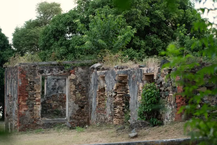
Estate House
Ruins
Charlotte Amalie, Saint Thomas, USVI

Brewers Bay is a St. Thomas gem that blends natural beauty with cultural history. Nearby, you’ll find the ruins of the former Brewers Bay Estate plantation—one of approximately 20 sites on the island honored by the National Register of Historic Places. Today, these remains are known as the Brewers Bay Estate House Ruins.
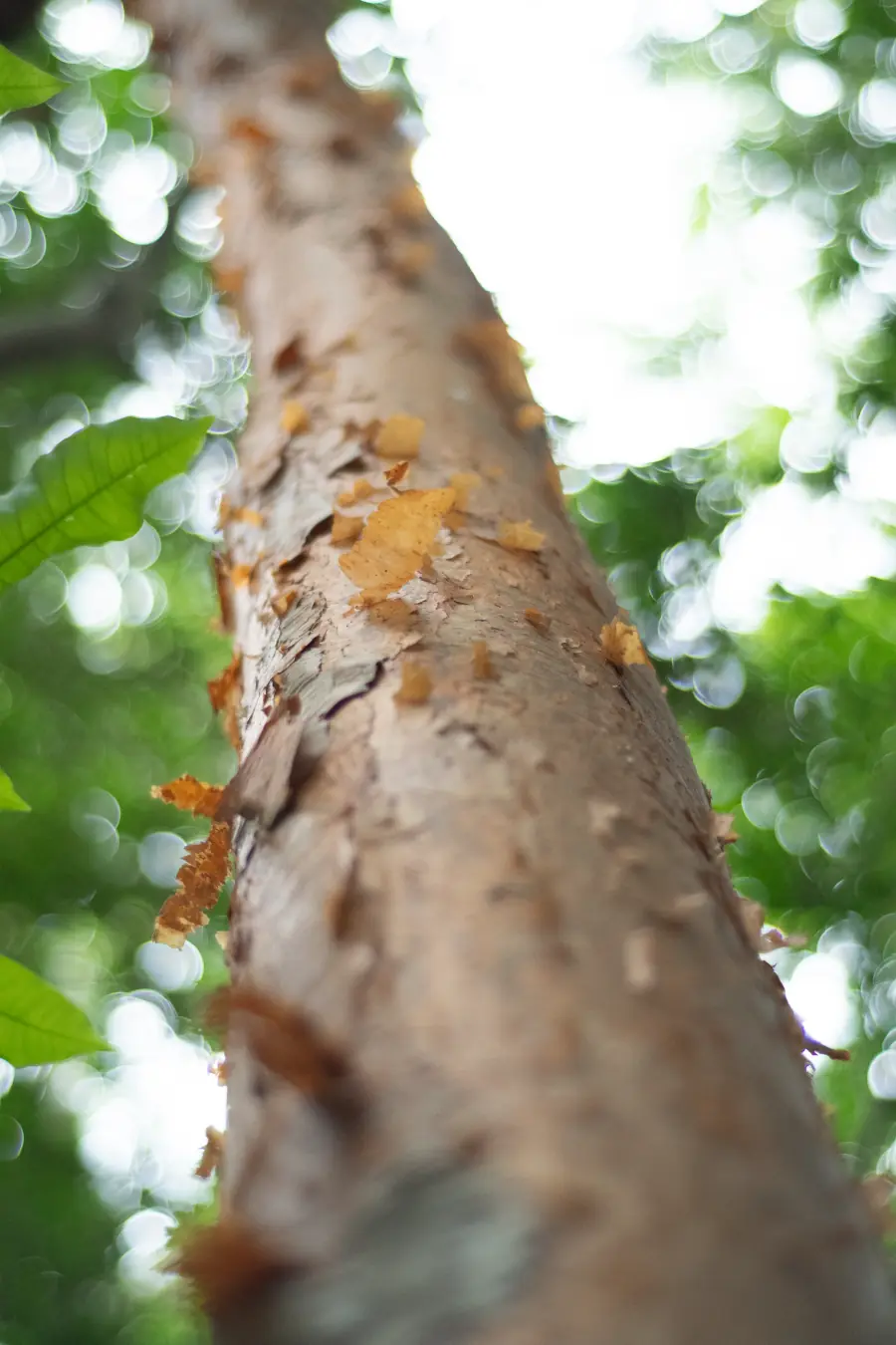
Nestled among the coastal vegetation near the beach, these ruins stand as silent witnesses to the island's agricultural and colonial past.The area boasts remarkable ecological diversity: mangroves, sea grapes, cacti, and hardy shrubs that thrive in well-drained soils.
While the Brewers Bay Trail does climb into the higher terrain, it is not currently well-maintained. For your safety, we recommend sticking to the beach and the accessible ruins (please do not enter them), rather than venturing onto paths that may be overgrown or unstable.
Management: University of Virgin Island
Hiking Time: 1 hour approx.
Easy
In St. Thomas, access Brewers Bay via Julian Jackson Drive East and Brewers Bay Rd. Wear appropriate footwear, bring plenty of water, use sun protection, visit during the hours of least sun.
Free parking adjacent to Brewers Bay Rd near the beach.
A short distance away lies Venus Hill, the site where a Brazilian expedition observed the transit of Venus in 1882. This astronomical event was part of a global effort to measure the distance between the Earth and the Sun.
This paradise is more than just beautiful beaches—it’s also steeped in history! Its name originates from the brewing operations established here by the island's first colonists.

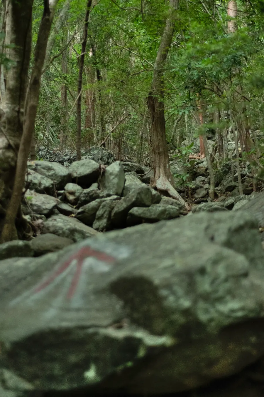
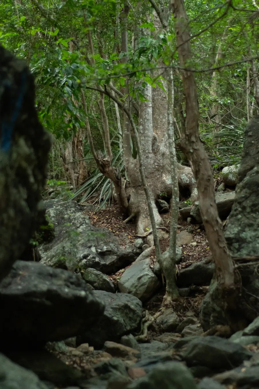
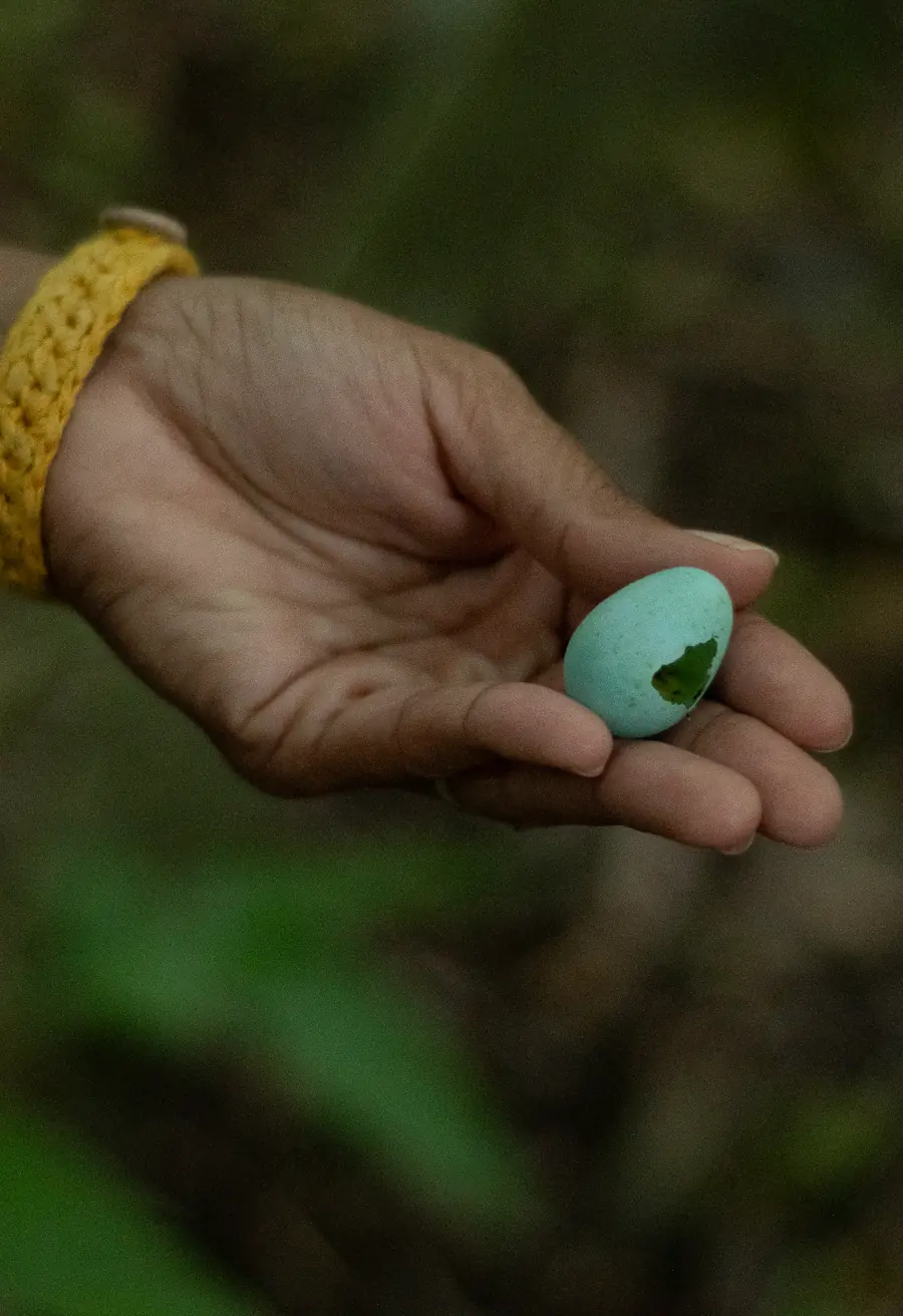
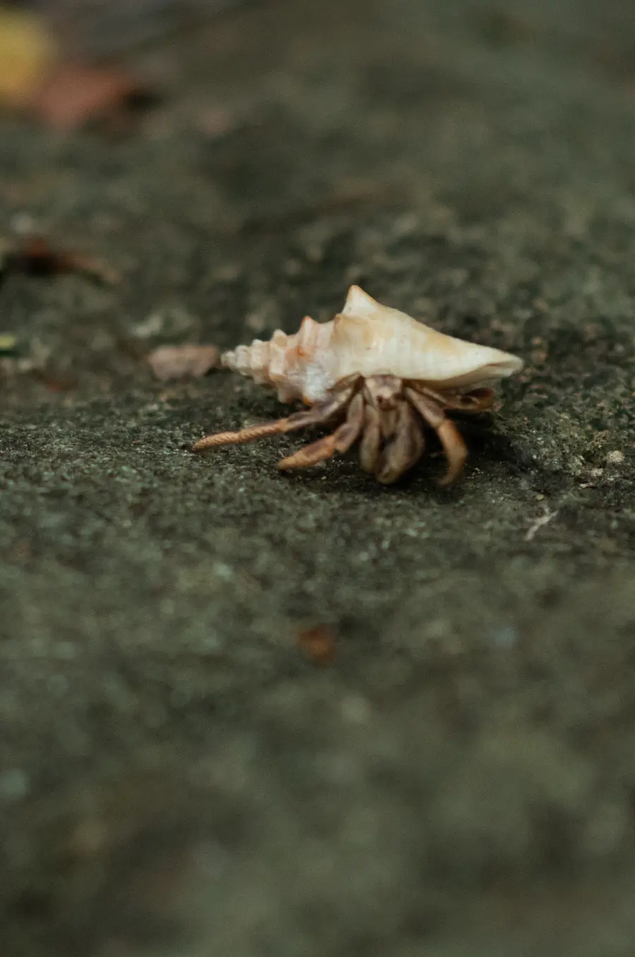
Behind the beach, there are paths that cut through a living jungle where you can see animals, wild orchids, and birds like the banana warbler, the national bird of the Virgin Islands!
Soils
The Brewers Bay landscape is dominated by shallow soils formed from volcanic igneous rock. The Southgate, Fredriksdal, Susannaberg, Annaberg, Maho Bay, Dorothea and Victory series reflect the geological and climatic history of this semi-arid tropical coastal region. Although these soils have short profiles, reaching the parent rock at only 15 to 20 inches, they exhibit a surprising richness in forms, colors, and functions. Some contain large quantities of rock fragments, others display reddish hues resulting from tropical oxidation processes, and all support vegetation adapted to the challenging conditions of rapid drainage and steep slopes. Have you ever wondered how plant roots survive when there is so little depth?
Series: Southgate
Order: Inceptisol
Taxonomic name: Loamy-skeletal, mixed, active, isohyperthermic Lithic Haplustepts
General description: Southgate soil is found on the summits and slopes of volcanic hills. It is a shallow, well-drained soil of moderate permeability, composed of material weathered from igneous rock. Its profile extends to a depth of only about 17 inches.
Interesting Notes:
- This soil is characterized by a high amount of rock fragments (gravel and stones), giving it a skeletal texture.
- Although it is shallow and stony, this soil allows for the growth of shrubs and native vegetation.
Series: Fredriksdal
Order: Molisol
Taxonomic name: Clayey-skeletal, vermiculitic, isohyperthermic Lithic Haplustolls
General description: Fredriksdal soil is a shallow, well-drained, slow-permeating soil that develops on volcanic hills and mountains. It forms from weathered igneous rock and is found on steep slopes. Its profile reaches the unaltered igneous rock at a depth of about 16 inches (approx. 40 cm).
Interesting Notes:
- Its characteristic reddish-yellow color comes from iron oxides in its B horizon, which can also form mottles.
- Although it is found in a semi-arid climate, this soil contains a topsoil rich in organic matter and nutrients.
Series: Susannaberg
Order: Molisol
Taxonomic name: Clayey, vermiculitic, isohyperthermic, shallow Typic Haplustolls
General description: The Susannaberg series consists of shallow, well-drained, and slowly permeable soils formed from weathered igneous rock on the slopes and summits of volcanic hills.
Interesting Notes:
- The igneous rock appears between 15 and 20 inches of the soil profile, limiting deep root growth and making plants dependent on the nutrient-rich surface layer.
- Iron and manganese mottling is observed in the Bw horizon, evidence of oxidation and reduction processes typical of active tropical soils.
Series: Victory
Order: Inceptisol
Taxonomic name: Loamy-skeletal, mixed, superactive, isohyperthermic Typic Haplustepts
General description: Victory soil forms on volcanic slopes and summits in the semi-arid climates of St. Croix and St. John. It is moderately deep, well-drained, and has a very stony loam texture, ideal for natural pastures and livestock grazing.
Interesting Notes:
- The Victory series was officially established in 1965.
- It is the representative soil series of the Virgin Islands!
Series: Annaberg
Order: Molisol
Taxonomic name: Loamy-skeletal, mixed, superactive, isohyperthermic Lithic Haplustolls
General description: The Annaberg series consists of shallow, well-drained, moderately permeable soils found on the summits and slopes of volcanic hills and mountains. They formed from weathered material of extrusive volcanic rock.
Interesting Notes:
- They contain between 10% and over 60% rock fragments (gravel and pebbles), giving them a loose and well-aerated texture, ideal for species adapted to rocky terrain.
- They are small soils, currently used mainly as pastureland or rangeland, with native vegetation of hardy shrubs and grasses, and in some areas, for residential or commercial development.
Series: Maho Bay
Order: Mollisol
Taxonomic name: Loamy, mixed, superactive, isohyperthermic, shallow Typic Haplustolls
General description: The Maho Bay soil is found on the steep slopes of St. John and is composed of weathered volcanic rock residue. It is shallow, well-drained, and has a fertile topsoil layer that supports hardy grasses such as guinea grass (Megathyrsus maximus) and buffelgrass (Cenchrus ciliaris).
Interesting Notes:
- Its surface horizon is very dark (with a value of 10YR 2/2, on the Munsell chart), rich in organic matter and classified as a mollic epipedon, typical of fertile soils.
- Although it develops in tropical zones, its profile varies from slightly acidic to very strongly acidic, depending on the horizon and exposure to weathered volcanic materials.
Series: Dorothea
Order: Alfisol
Taxonomic name: Fine, vermiculitic, isohyperthermic Typic Haplustalfs
General description: It can be found on slopes of up to 90% incline, making it an extreme mountain soil.;This soil forms directly on weathered igneous rock.
Interesting Notes:
- Dorothea soil is very deep, well-drained, and slow-permeating, forming on steep slopes and mountain summits of volcanic origin. It develops from weathered igneous rock such as saprolite, exhibiting a firm structure and well-defined clay layers, typical of steep slopes with secondary vegetation or urban areas.
This Web Soil Survey map contains scientific information detailing the taxonomy (classification) of soils. The taxonomic classification of soils is summarized in abbreviations. By selecting these abbreviations, you will be able to access the soil series corresponding to that area. The soil profile is provided with its respective horizons (layers) for each soil. This information is provided by the National Cooperative Soil Survey compiled by NRCS (Natural Resources Conservation Service). It is considered one of the largest and most comprehensive databases in the United States.